|
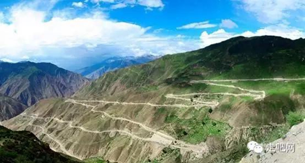 |
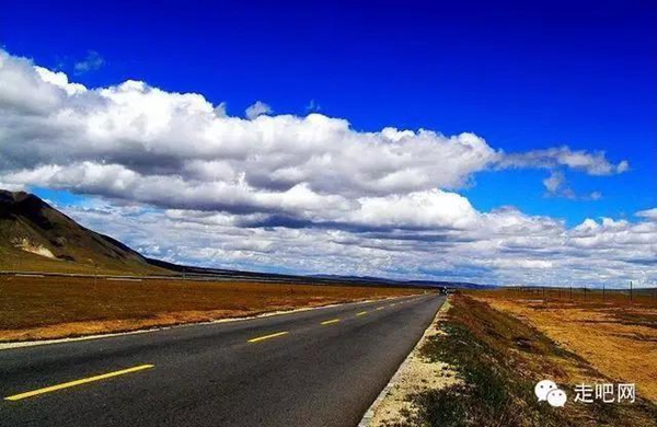
The southern line of the Sichuan-Tibet Railway was formally opened in 1958. The southern line begins in Chengdu and terminates in Lhasa. The entire course converges on the No 318, No 108 and No 214 National Roads. The territory that the southern line covers has a comparatively denser population. The highest crossing point along the route is Litang county, which stands at 4,700 meters above sea level.
|
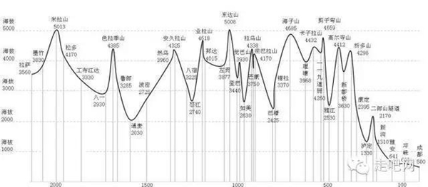 |
The entire length of the southern line runs 2,140 kilometers:
Chengdu => 147km => Ya'an => 168km => Luding => 49km => Kangding => 75km => Xinduqiao => 74km => Yajiang => 143km => Litang => 165km => Bathang => 36km => Zhubalong => 71km => Markham => 158km => Zogang => 107km => Bangda => 94km => Pashod => 90km => Ra-ok => 129km => Pome => 89km => Tangmey => 127km => Nyingchi => 19km => Bayi => 127km => Kongpo Gyamda => 206km => Medrogungkar => 68km => Lhasa.
|
 |
The Best Times to Go
Late spring (May/June) or early fall (September/October)
|
 |
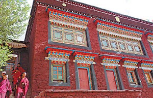
Scenic Spots Along the Way
 |
|
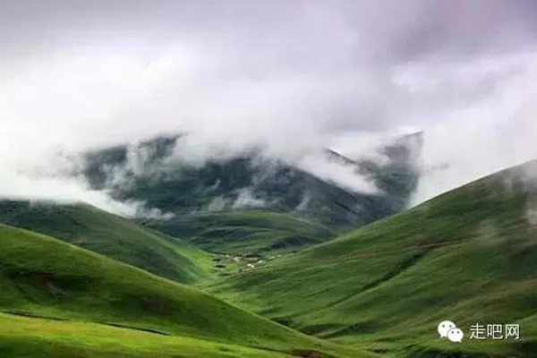
1) Xinduqiao Town |
 |
|
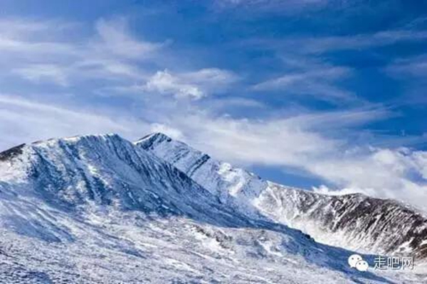
2) Gonggar Snow Mountain |
 |
|
3) Daocheng |
 |
|
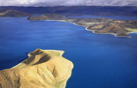
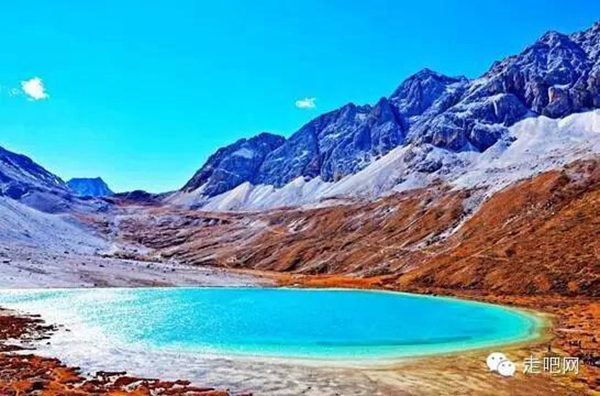
4) Ra-og Tso Lake |
 |
|
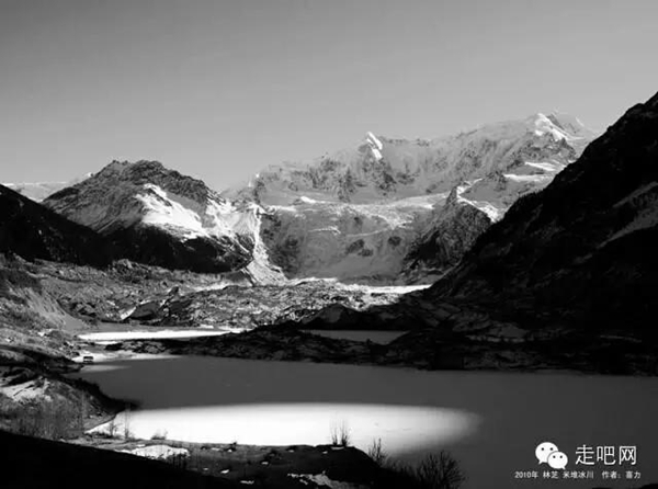
5) Midui Glacier |
 |
|
6) Medog County |
 |
|
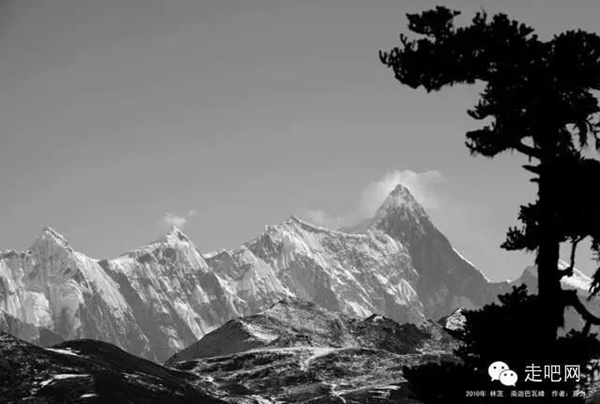
7) Mt. Namjagbarwa |
 |
|
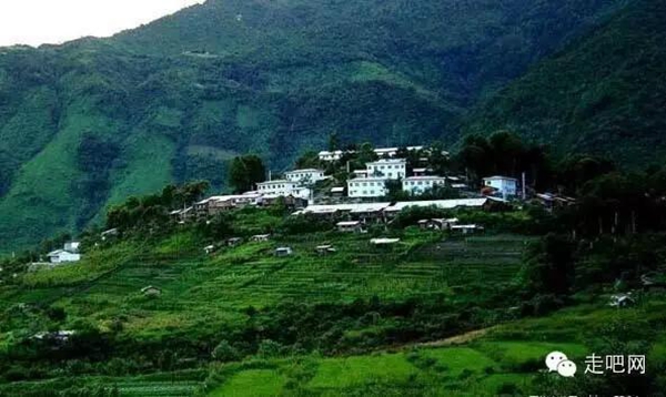
8) Lulang Town |
Notes:
First, do not be concerned about the effects of high elevation. The line goes west, so the rise in elevation is very gradual. Although there are many mountains that stand above 4,000 meters above sea level, the time to pass them is very short and area is covered in rich vegetation and dense forest, so there's no need to be worried about any kind of oxygen deprivation or shortage at the high altitudes.
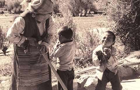
Second, do not worry about food and beverage. The Southern Line is the route with the most villages along the way. In addition to typical home-style cooking, there is also an abundance of delicacies and venison produced in the mountain areas, so one can eat one's fill while on the road. However, because the Sichuan-Tibet Highway is frequently waylaid, one should remember to buy some biscuits or crackers in Chengdu to be prepared for such instances.
|
 |
Third, it is imperative that one take measures against rainfall. All cameras, equipment, clothing, tents, sleeping bags, etc, all must be water resistant otherwise there will be a tremendous amount of rain damage.
Fourth, there are many rock/mud slides on the Sichuan-Tibet Highway, usually occurring on the stretches between Bangda and Pashod, Bomi and Bayi, as well as other areas. It is a frequent occurrence for the route to get held up for several days, so it is important to pass through these areas during times of favorable weather as to avoid difficulties on your trip.
Related Stories
Copyright 1995 - . All rights reserved. The content (including but not limited to text, photo, multimedia information, etc) published in this site belongs to China Daily Information Co (CDIC). Without written authorization from CDIC, such content shall not be republished or used in any form. Note: Browsers with 1024*768 or higher resolution are suggested for this site.
License for publishing multimedia online 0108263 Registration Number: 130349 ![]()