BEIJING - China on Thursday publicized the first batch of photos captured by Gaofen-1, its recently launched high-definition Earth observation satellite.
Released by the State Administration of Science, Technology and Industry for National Defence (SASTIND), the 13 photos feature images of four cities -- Beijing and Shanghai, as well as Yinchuan in the northwest of the country and Datong in the north.
These images have attained top international standards in terms of the width of observation, said Hu Yafeng, an official with the SASTIND, adding that Gaofen-1 has significantly raised the efficiency of Earth observation, compared to other remote-sensing satellites.
Gaofen-1 blasted off on April 26, carried by a Long March-2D carrier rocket, from Northwest China's Jiuquan Satellite Launch Center.
Developed by the China Academy of Space Technology, Gaofen-1 is the first of five or six satellites to be launched for the high-definition Earth observation system (HDEOS) between 2011 and 2016.
It is also the first low-orbit remote-sensing satellite designed to be in use for longer than five years. It carries two 2m panchromatic/8m multispectral high-definition cameras, and four 16m resolution wide-angle cameras.
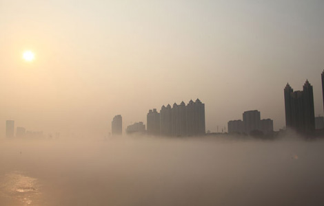
The satellite will be used for purposes including geometric correction, monitoring changes of land use and mineral resource development, geological disaster surveying and inspection, surveying of water and the quality of air, grass land and arable land.


Copyright 1995 - 2010 . All rights reserved. The content (including but not limited to text, photo, multimedia information, etc) published in this site belongs to China Daily Information Co (CDIC). Without written authorization from CDIC, such content shall not be republished or used in any form. Note: Browsers with 1024*768 or higher resolution are suggested for this site.
License for publishing multimedia online 0108263 Registration Number: 20100000002731 ![]()